
Browse by category
- Adaptive reuse
- Archaeology
- Arts and creativity
- Black heritage
- Buildings and architecture
- Communication
- Community
- Cultural landscapes
- Cultural objects
- Design
- Economics of heritage
- Environment
- Expanding the narrative
- Food
- Francophone heritage
- Indigenous heritage
- Intangible heritage
- Medical heritage
- Military heritage
- MyOntario
- Natural heritage
- Sport heritage
- Tools for conservation
- Women's heritage
Seeing the unseen: Archaeology and geophysics
As population growth results in substantial impact to Ontario’s landscapes, efficient and cost-effective methods to locate, map and acquire information from archaeological sites are needed – before the sites are lost.
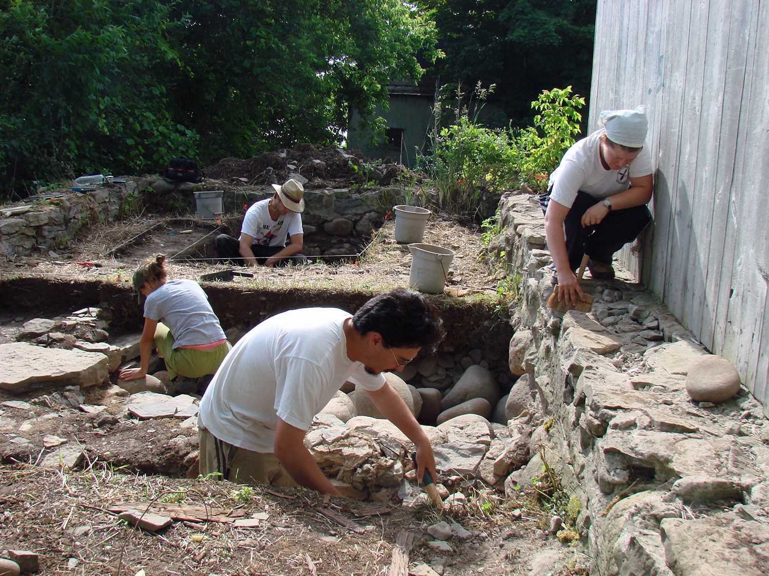
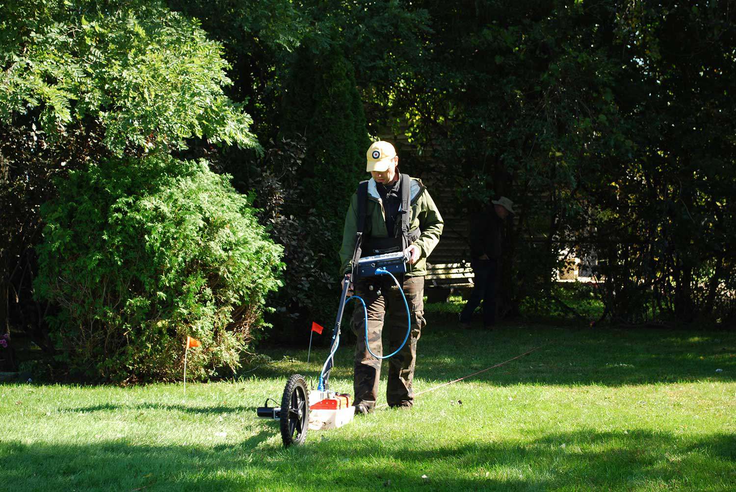
Archaeological excavation is essentially a destructive science. As each archaeological site is excavated, it is systematically destroyed. Consequently, each step of the excavation can be painstakingly slow, due to the need to carefully document each find and each level. As with every scientific endeavor, technology is beginning to change the way archaeologists work. Archaeogeophysics refers to ground-based subsurface mapping using a number of different sensing technologies (see sidebar). Geophysical methods provide additional ways to examine the remains of earlier cultures and give us clues to our province’s past.
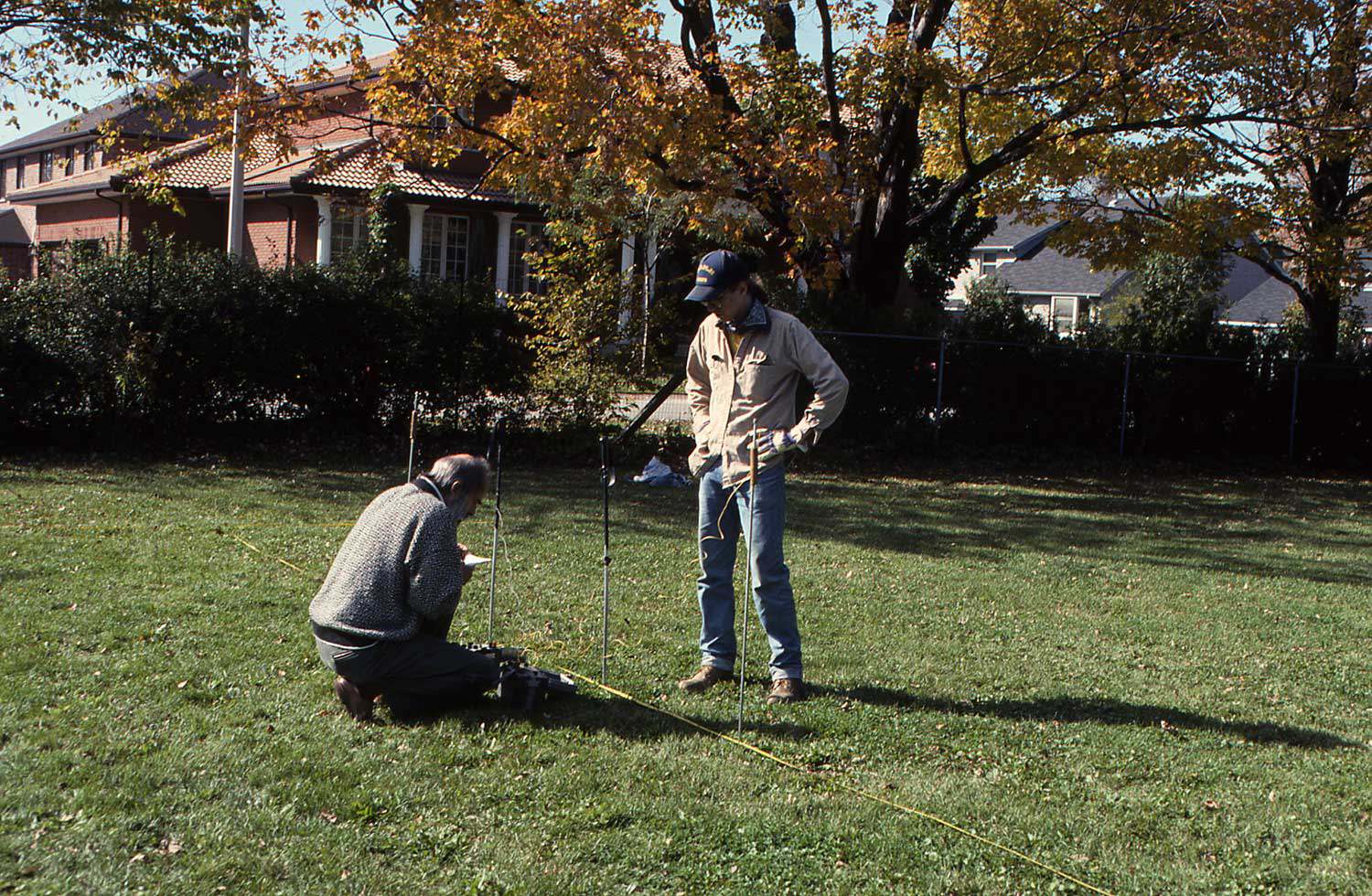
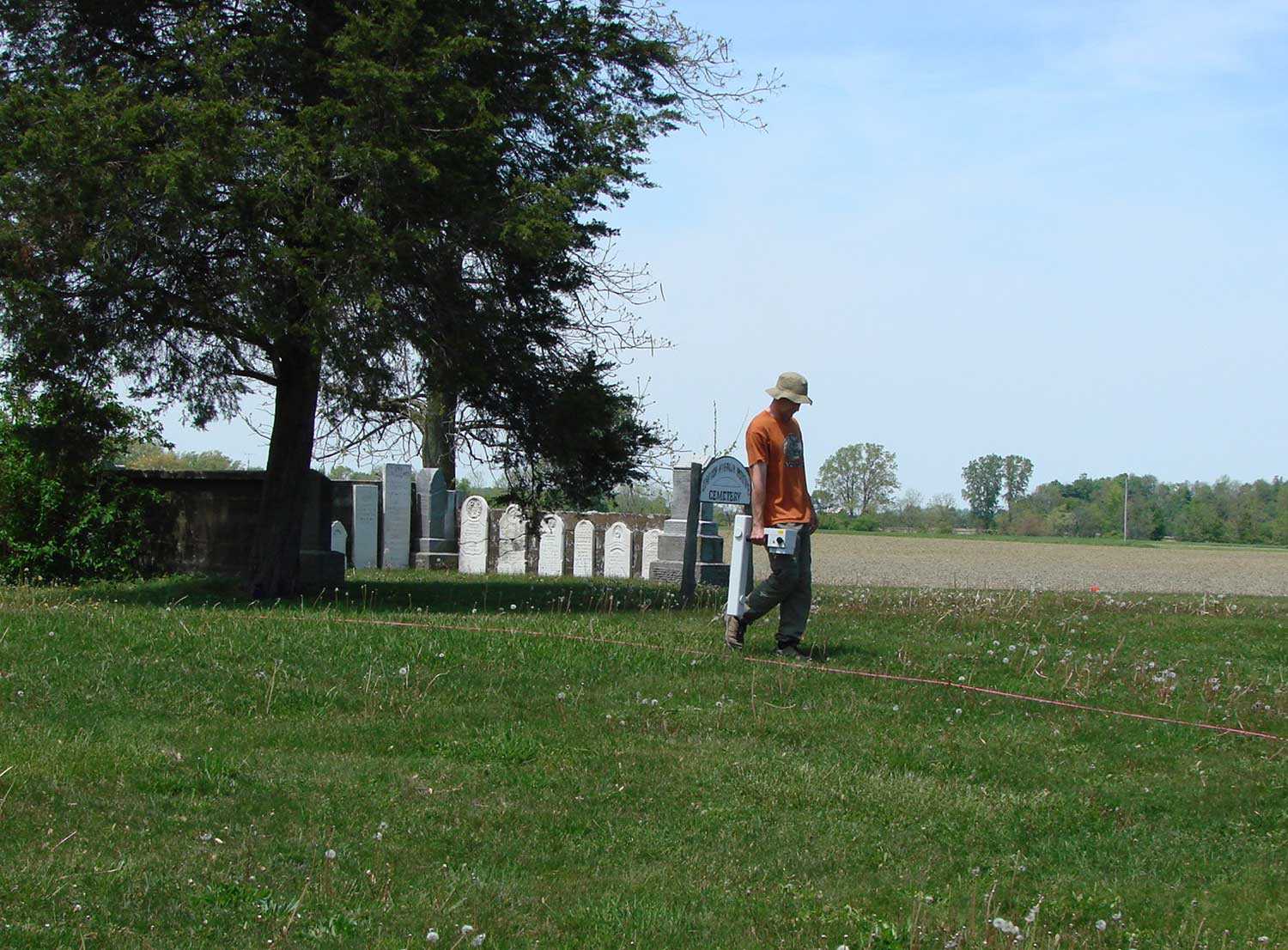
Geophysics involves methods of data collection that allow archaeologists to discover and map buried archaeological features in ways not possible using traditional field excavation methods. Using a variety of instruments, physical and chemical changes in the ground, related to the presence or absence of buried materials, can be measured and mapped. When these changes can be connected to certain aspects of archaeological sites such as architecture (buried walls), use areas (hearths), or other associated cultural features (artifacts), high definition maps and images of buried remains can be produced.
Survey results can be used to guide excavation and to give archaeologists insight into the patterning of non-excavated parts of the sites. The appropriate geophysical techniques that should be employed in an archaeological investigation will vary from location to location. Each technique has strengths and constraints that make it more or less effective in detecting sub-surface features, depending on the environmental conditions. Interestingly, geophysics can detect and map features both underground and underwater.
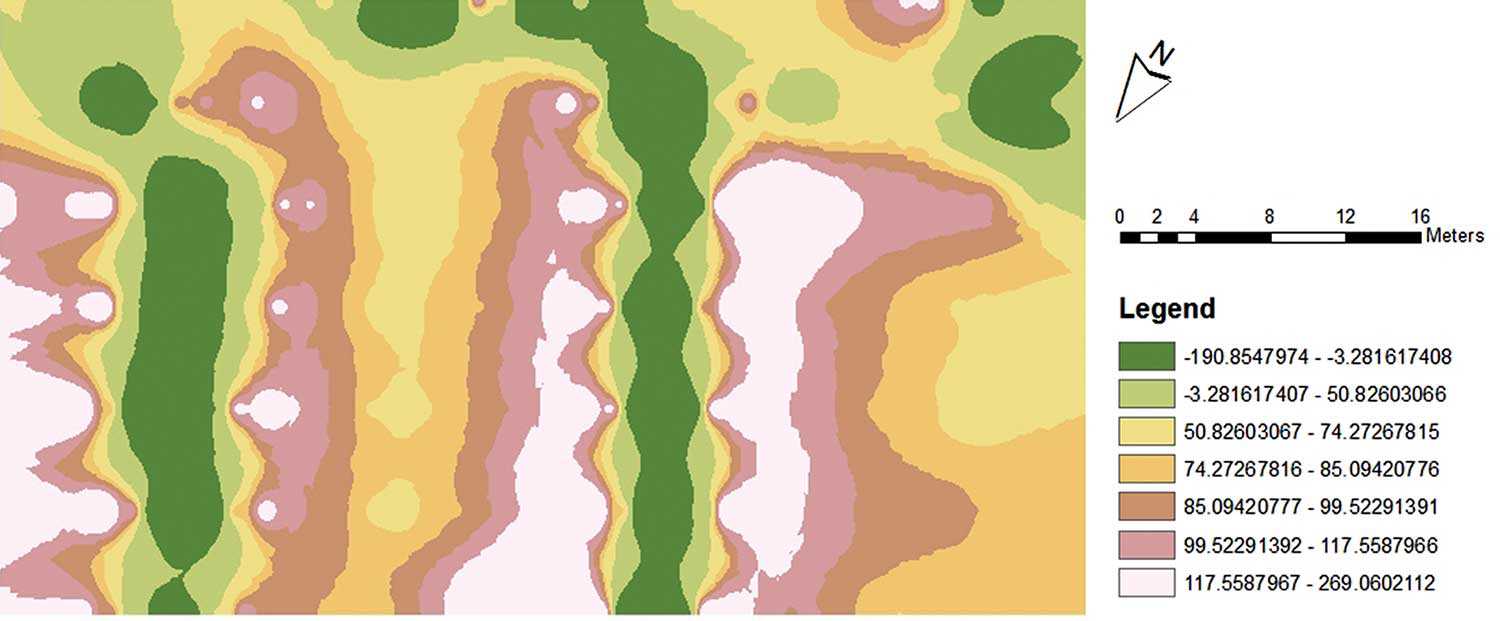
An example of mapped conductivity data from an area south of Assumption Church (Windsor), a property protected by a Trust conservation easement, showing the presence of modern utilities (Image: Benjamin Lane)
Archaeologists can be greatly assisted in setting excavation priorities if geophysical methods are used first. These methods have the ability to allow large areas of the subsurface to be investigated, precisely mapped and interpreted based on their form, distribution, context and measurement characteristics. Irregularities in the landscape indicated by geophysics are factual. In other words, a real physical cause must exist in the ground. Ground-truthing by archaeologists includes verifying the presence of archaeological features detected through the use of geophysics by placing excavation units in those areas.
Due to provincial legislation in Ontario, archaeological assessments are often required prior to the clearing of an area and construction of new buildings. Frequently, the time available for the archaeological effort may be limited. Geophysical methods may be of great value as the site will often be totally destroyed by the new construction. Determining the impact of the existing environment on the ability to use geophysics must be considered and evaluated by geoscientists and archaeologists in order to develop innovative investigation methods. As new equipment and software are introduced, new demands are placed on archaeologists to understand this technology and to learn how data can be assembled into a coherent whole. This permits one to combine data from classes of measurement such as artifact densities, topography, magnetometry, ground penetrating radar, conductivity, global positioning systems and aerial/satellite imagery.
The human past has been the subject of scientific inquiry for centuries, and has long been approached through studying material remains recovered from traditional archaeological excavations. In recent decades, the advancing fields of geophysics and geographic information systems have enhanced the toolkit for archaeologists. Geophysics has the potential to assist decision makers with better access to the archaeological record, in a way that is non-invasive or destructive and that may stimulate more opportunities for in situ conservation.
Geophysical survey methods
Electrical resistivity tomography (ERT) is the measurement of the soil’s electrical resistance, and is useful for finding buried wall foundations, ditches, burial areas and a range of other features.
Electromagnetic (EM) Conductivity is the inverse of resistivity. It measures the ability of the soil to conduct electricity. Items that conduct electricity easily show up as high in conductivity, indicating potential buried materials such as walls, foundations, roads, wells, canals, pits, hearths and graves.
Magnetometry is suitable for finding buried hearths, walls, ditches or any magnetized (heated) materials, such as burned soils. A gradiometer is an instrument that measures slight changes in the earth’s magnetic field.
Ground-penetrating radar (GPR) is used to send a radar signal through the ground and measure the transit time for sending and return. The results are compiled into a three-dimensional map of what lies beneath the surface, such as hearths, post-holes, ditches, voids or cavities, wall foundations and burials.

